A Key Data Capability for Polar Environmental Change Monitoring
Sea ice thickness and coverage are critical physical parameters reflecting polar climate change and air–sea interactions. They directly influence the Earth's energy balance, ocean circulation patterns, and the stability of the global climate system. High-precision, continuous sea ice observation data help reveal seasonal variability and long-term evolutionary trends, strongly supporting climate change assessment, polar environmental prediction, and the optimization of global climate models.
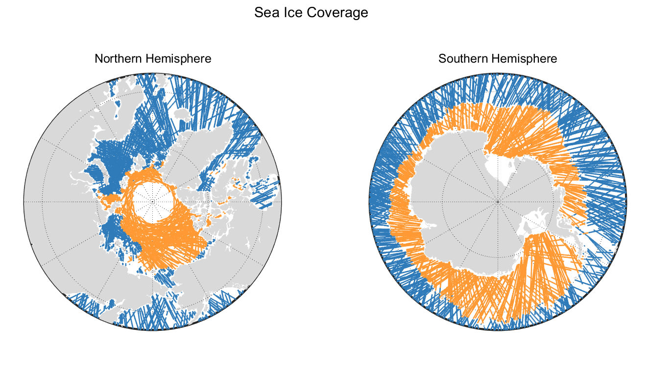 Sea Ice Thickness and Coverage
Application
Data Sheets
| L2 | Sea Ice |
|---|---|
| Contents | The main contents of the product include measurement time, location, sea ice coverage, sea ice coverage quality flags, sea ice thickness, sea ice thickness quality flags, as well as the primary raw observational parameters and auxiliary information used in the sea ice retrieval process. |
| File Naming | LEOX_GNOSR_YYYYMMDD_hhmmss_UUUUU_L2_SIT.HDF |
| File Format | HDF |
| Technical Specifications | Spatial Resolution: 1×6KM |
| Daily data growth from a single satellite | About 30MB |
| 图像 | 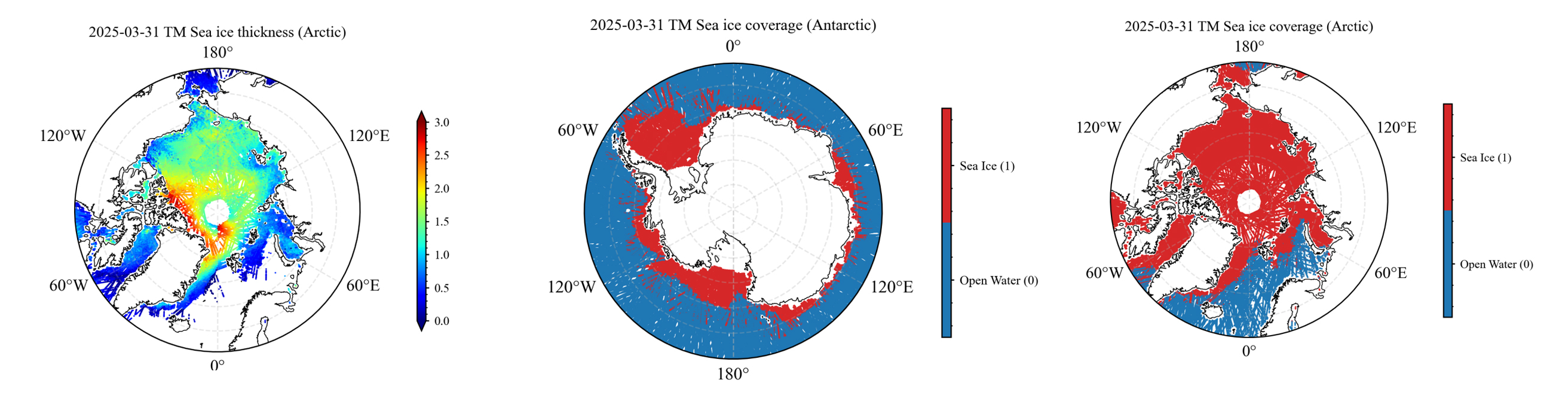 |